About Cundletown
Cundletown (in the Birrpayi language, Gindul) is a town on the Mid North Coast. Cundletown and the nearby larger town of Taree were both settled in 1831 by William Wynter. It had a population of 2,050 at the 2021 census, and is a significant agricultural district.
It is 16 km from the Tasman Sea coast and 317 km north of Sydney, in the MidCoast Council area. Cundletown and Taree can be reached by train on the North Coast Railway and by the Pacific Highway.
Where is Cundletown?
Cundletown is in the MidCoast Council area on the Mid North Coast of New South Wales.
Nearby towns with hubs on OurHub, with straight-line distances: Taree (6 km west), Old Bar (10 km south-east), Tinonee (11 km south-west), Coopernook (12 km north-east).
What the Cundletown directory lists
To eat and drink: Manning River Hotel. Halls and community places: Oxley Island Literary Institute Hall. Parks, beaches and recreation: Cundletown Oval, Manning River Rowing Club, Market Square, Victoria Square.
Schools and learning: Chatham High School, Cundletown Public School, Manning Valley Anglican College, St Clare's High School. Churches: Manning Uniting Church.
Get in touch
A question, something out of date, a group to link, or the keys to this hub: send it here and someone at OurHub will get back to you.
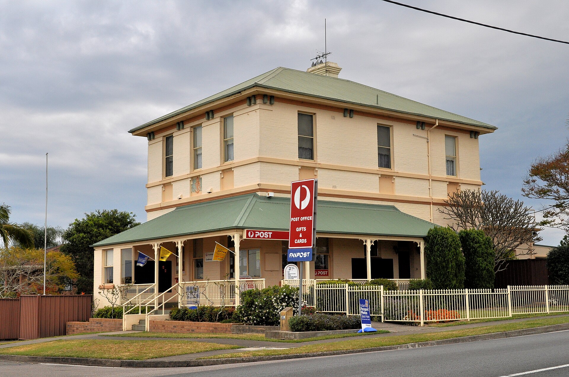
Photo: “Cundletown Post Office 2009” by Mike Young (CC BY-SA 3.0), via Wikimedia Commons. Town facts: Wikipedia (CC BY-SA 4.0), which cites the Australian Bureau of Statistics census. Straight-line distances are worked out from the hub’s coordinates. Directory locations © OpenStreetMap contributors (ODbL).